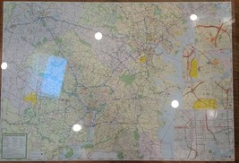
Nat Geo New York State Recreation Atlas and 50 similar items
Free Shipping
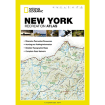
Nat Geo New York State Recreation Atlas (Rare Discontinued Title)
£52.01 GBP
View full item details »
Shipping options
Seller handling time is 10 business days Details
No shipping price specified to GB
Ships from
United States

Return policy
Replacement product available within 30 days
Details
Purchase protection
Payment options
PayPal accepted
PayPal Credit accepted
Venmo accepted
PayPal, MasterCard, Visa, Discover, and American Express accepted
Maestro accepted
Amazon Pay accepted
Nuvei accepted
View full item details »
Shipping options
Seller handling time is 10 business days Details
No shipping price specified to GB
Ships from
United States

Return policy
Replacement product available within 30 days
Details
Purchase protection
Payment options
PayPal accepted
PayPal Credit accepted
Venmo accepted
PayPal, MasterCard, Visa, Discover, and American Express accepted
Maestro accepted
Amazon Pay accepted
Nuvei accepted
Item traits
| Category: | |
|---|---|
| Quantity Available: |
Only one in stock, order soon |
| Condition: |
New |
Listing details
| Seller policies: | |
|---|---|
| Posted for sale: |
More than a week ago |
| Item number: |
638469169 |
Item description
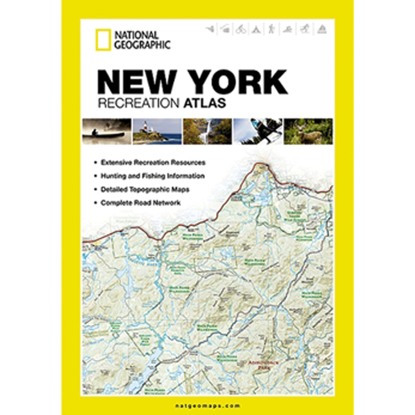
National Geographic's New York Recreation Atlas is the ideal resource for any recreation activity from hunting and fishing to camping, golfing, hiking, and more. This durable, easy-to-use atlas includes up-to-date topographic maps, a comprehensive road network, informative recreation guides, and a detailed index. All road types are clearly identified, making each atlas a useful planning tool for motorcycle and off-road adventures. Maps include bold boundaries for parks and federal lands, and clearly labeled lakes, rivers, and streams. On each map page you will find a convenient map legend, easy-to-read page numbers, a latitude and longitude grid for use with GPS, and fact-checked points of interest. Also included are cross-referenced charts of fishing areas with species information, game management units, campgrounds and attractions charts, state park maps and facilities, hiking, golfing, skiing and paddling destinations, climate information, and more.
Key features:
+ Detailed topographic maps with shaded relief for the entire state
+ Each labeled feature is up to date and verified by satellite image
+ Comprehensive, easy-to-read road network
+ Boundaries for parks and federal lands
+ Clearly-labeled lakes, rivers and streams
+ Durable laminated cover
+ Robust travel and recreation information
+ Cross-referenced chart of fishing areas with species information
+ Game management units
+ Campgrounds and attraction charts
+ State Parks maps and facilities
+ Hiking, golfing, skiing and paddling destinations
+ Climate information
|
Why are we showing these items?
Booth
Rockford Map Gallery |

|

-
Refine your browsing experience
We can show you more items that are exactly like the original item, or we can show you items that are similar in spirit. By default we show you a mix.
This item has been added to your cart
 Nat Geo New York State Recreation Atlas (Rare Discontinued Title) added to cart.
Only one available in stock
View Cart or continue shopping.
 Please wait while we finish adding this item to your cart.
Get an item reminder
We'll email you a link to your item now and follow up with a single reminder (if you'd like one). That's it! No spam, no hassle.
Already have an account?
Log in and add this item to your wish list.


