Massachusetts Brochure Industrial Agricultural Recreational Economic 1929
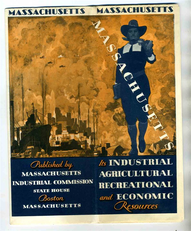
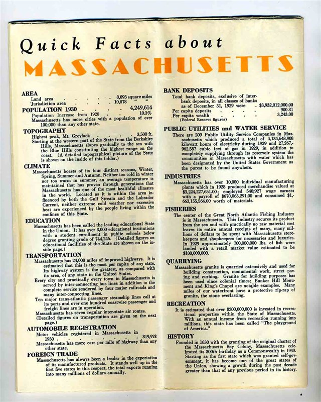
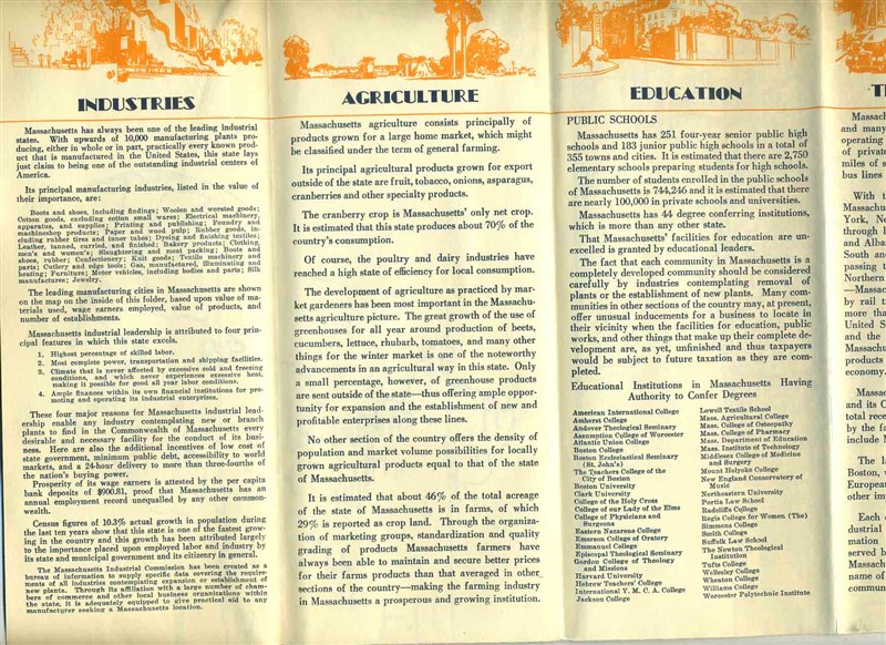

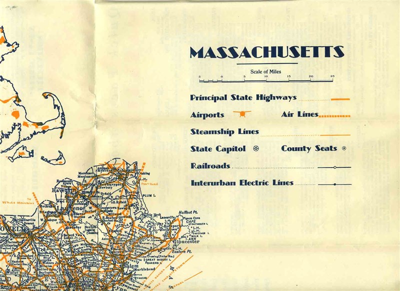
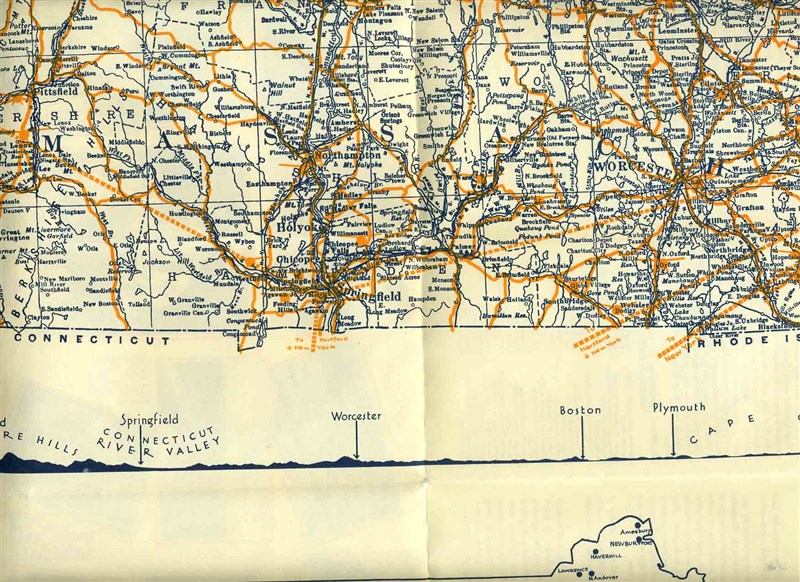
A Wonderful 36 panel fold out brochure and map of the Industrial ,Agricultural ,Recreational, and Economic Resources of Massachusetts. Circa late 1929. Opens to about 26 1/2" x 21 1/2". On one side is a large highway map of the state with smaller maps of Principal Industrial Cities, Population and Existing and proposed Public Lands available for Recreation. And a altitude chart of the state. On the other side many photos with explanations. Also Detailed information on the Industries, Agriculture Education, Transportation, Public Utilities, Recreation and Public Lands. Plus Pages of Quick Facts about Massachusetts.
Due to the size limitations of my scanner, the entire item may not show in some of the scans.
Our Policies:
For Multiple Purchases A single payment for all items would be appreciated.
We Ship World Wide Due to the Impact of USPS Policy Changes, Delivery time of some International Packages may be 8 to 18 weeks or more
International Buyers – Please Note:
Import duties, taxes, and charges are not included in the item price or shipping cost. These charges are the buyer's responsibility.
Please check with your country's customs office to determine what these additional costs will be prior to bidding or buying.
STATE Sales Tax Based on Applicable Tax Laws, will calculate and, collect Sales Tax for items shipped to customers in States requiring Sales Tax collection.
You may be interested in our other listings.
